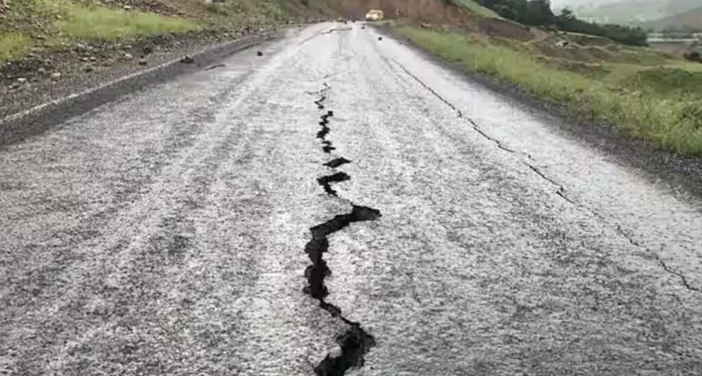
India, nestled within the Indian tectonic plate, experiences seismic activity owing to the complex interactions of these plates beneath its surface. The Meteorological Department, in collaboration with the Indian Standard Institution, has devised a seismic zoning map based on the modified Mercalli scale to categorize earthquake-prone areas in the country.
These seismic zones, ranging from feeble tremors to catastrophic events, help in understanding and preparing for the potential impact of earthquakes across different regions.
1. Zone I – Intensity V or Below (Feeble, Slight, Moderate, Rather Strong)
- Comprising parts of Punjab and Haryana.
- Plains of Uttar Pradesh.
- Coastal plains of Maharashtra and Kerala.
- Characterized by feeble to rather strong intensity, this zone experiences milder seismic effects.
2. Zone II – Intensity VI (Strong)
- Includes southern Punjab and Haryana.
- Certain parts of plains in Uttar Pradesh.
- Eastern Rajasthan.
- Coastal areas of Odisha and Tamil Nadu.
- Represents a low damage risk zone, with seismic intensity classified as strong.
3. Zone III – Intensity VII (Very Strong)
- Covers southern and southeastern parts of Rajasthan.
- Larger portions of Madhya Pradesh.
- Maharashtra, Karnataka, Jharkhand.
- Northern and northwestern parts of Odisha.
- Experiences very strong seismic intensity, posing a significant risk to structures and infrastructure.
4. Zone IV – Intensity VIII (Destructive Zone)
- Encompasses Jammu and Kashmir.
- Himachal Pradesh.
- Northern parts of Punjab, Haryana, Delhi.
- Eastern Uttar Pradesh.
- Tasai and Bhabhat regions.
- Himalayan areas of Uttarakhand, Bihar, and Sikkim.
- Experiences destructive seismic intensity, potentially causing severe damage to buildings and infrastructure.
5. Zone V – Intensity More than VIII (Disastrous, Catastrophic)
- Covers specific areas of Jammu and Kashmir.
- Himachal Pradesh.
- Uttarakhand.
- Monghy and Darbhanga districts of Bihar.
- Northern parts of India.
- Kutch region of Gujarat.
- Represents the highest risk zone with disastrous to catastrophic seismic intensity.
In specific areas where seismic waves are not reported, creating a zone known as the ‘shadow zone,’ understanding the seismic landscape becomes even more critical. These seismic zones play a pivotal role in the formulation of building codes, construction standards, and disaster preparedness strategies to minimize the impact of earthquakes on life and property.
As India continues to grow and develop, an awareness of these seismic zones becomes essential for urban planning and infrastructure development, ensuring resilience in the face of potential seismic events. The seismic map serves as a tool for researchers, policymakers, and the general public to comprehend and mitigate the risks associated with earthquakes in the diverse and dynamic landscape of India.


